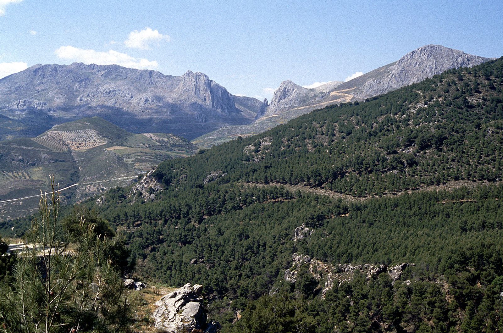
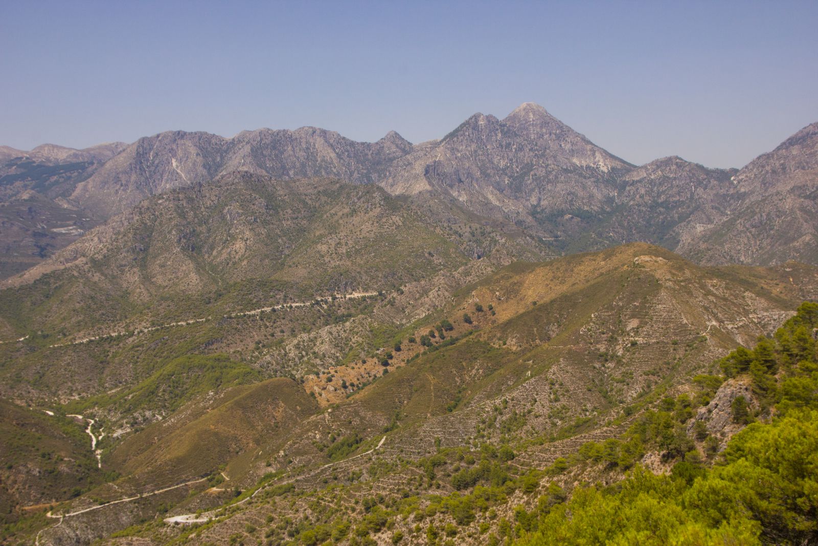
The dramatic limestone peaks of the Sierra de Tejeda and Sierra de Almijara rise directly behind the villas. From gentle river walks to challenging summit treks and world-class cycling climbs, this is some of the best outdoor terrain in southern Spain.
Walking
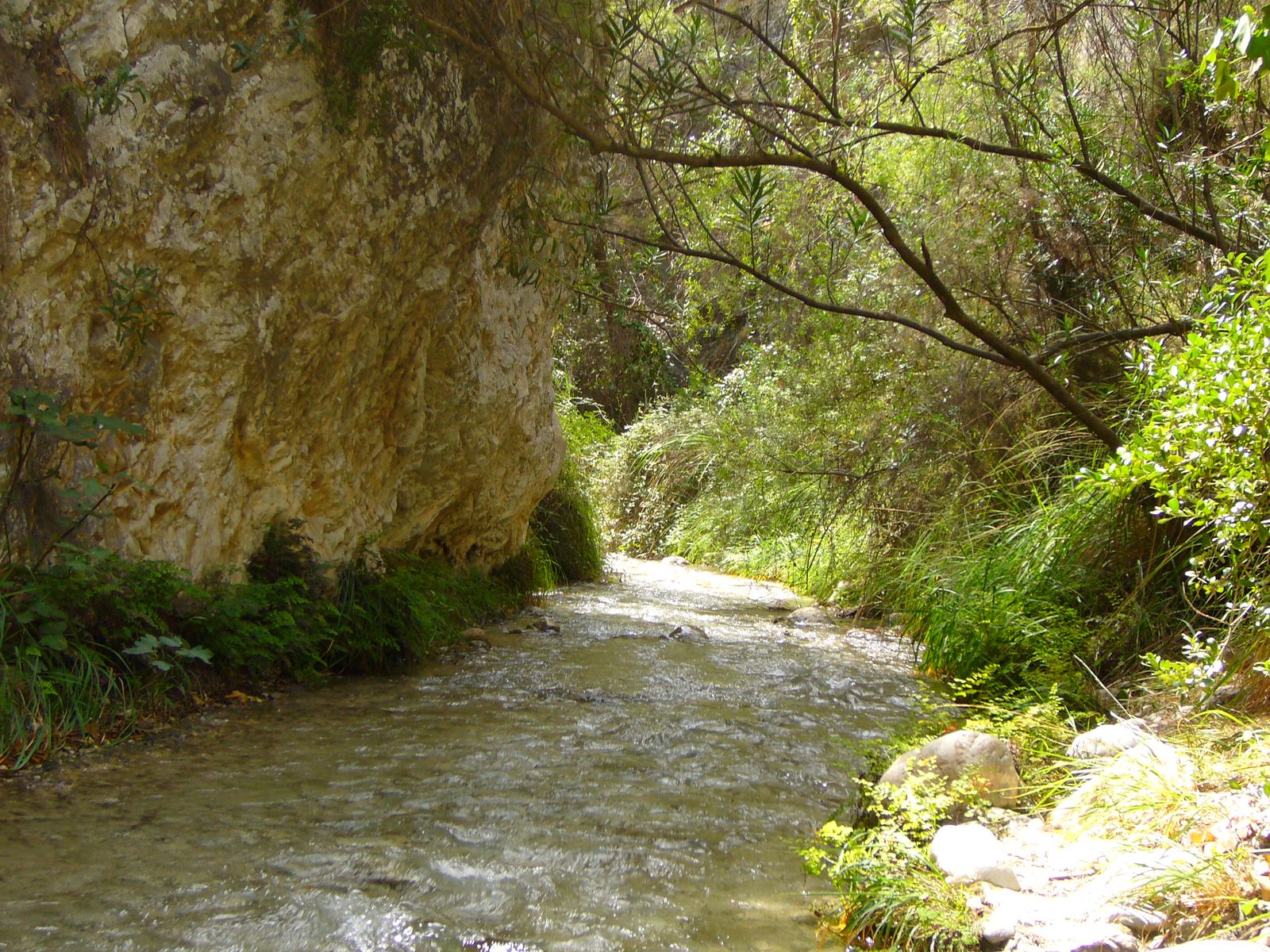
Río Chíllar — The River Walk
8 km returnThe most iconic walk in the area. Starting from the Los Almachares access point on Nerja’s edge, you wade upstream through the riverbed as the limestone gorge narrows dramatically. About 4 km in, the canyon squeezes to just one metre wide with walls towering 20 metres above — an unforgettable passage. At 8 km you reach Vado de los Patos, a natural pool fed by a waterfall and the usual turnaround point. Ankle- to knee-deep water throughout; wear old trainers with grip. Best May to October. Allow 4-5 hours return.
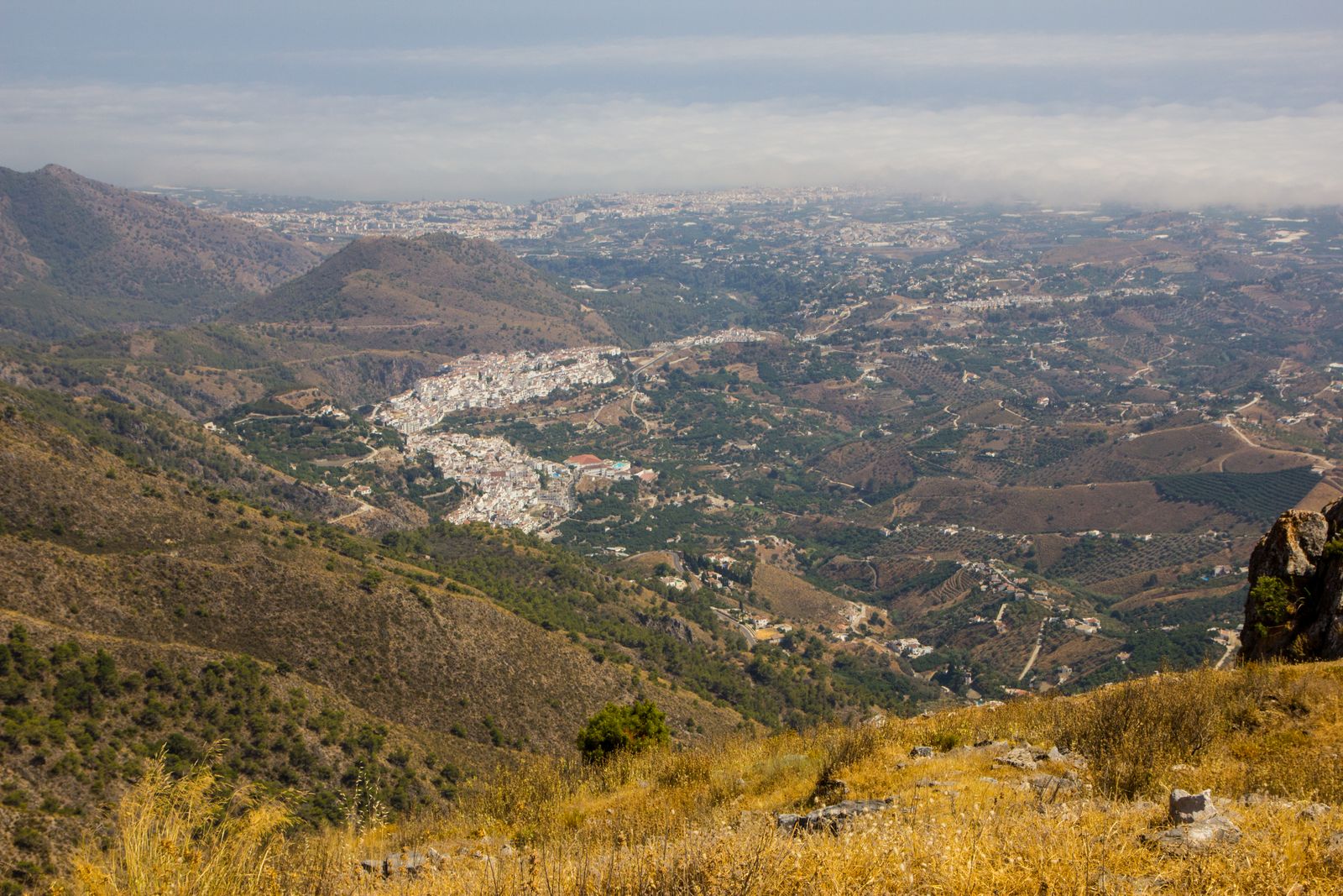
Peñón de Frigiliana
3 km, 400 m ascentThe most accessible dramatic walk in the area. A steep but short hike from the upper streets of Frigiliana to the rocky crag directly above the village. From the Cruz del Santo at the summit, the panorama takes in the entire coastline from Málaga to Almuñécar, the white rooftops directly below, and the Sierra rising behind. This is the mountain you see behind Frigiliana in every photo — and you can be on top of it in under an hour. Go early morning or late afternoon for the best light; the path is rocky and exposed, so bring water and sun protection.
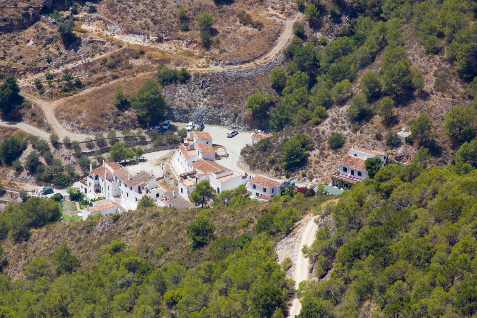
Frigiliana to El Acebuchal
14 km returnFollow the signposted track through olive and almond groves to the “lost village” of El Acebuchal — abandoned during the Civil War and painstakingly restored. Have lunch at the excellent restaurant (the migas and chivo al horno are famous), then walk back. A perfect day out, combining history, scenery, and great food.
Pico Lucero
18 km, 1,400 m ascentA real highlight for experienced hikers. At 1,779 m, Pico Lucero is the highest peak in the Sierra de Almijara and offers one of the most spectacular summit views in all of Andalucía — from the snow-capped Sierra Nevada to the coast of North Africa on a clear day. The route from Frigiliana climbs through pine forest, past dramatic limestone karst, and along exposed ridgelines. A full-day commitment (8-10 hours round trip) requiring good fitness, proper hiking boots, and plenty of water. Best attempted in spring or autumn when temperatures are manageable.
More Routes
40+ in the areaCharles Davis’s Walk! Axarquía guidebook covers 40+ routes across the region — the Río Higuerón gorge above Frigiliana, the climb to El Fuerte (the ruined Moorish fortress), circuits through the Sierra de Almijara, and full-day mountain traverses reaching above 1,500 m. We keep a copy at the villas and are happy to recommend routes for your ability and interests.
Cycling
CycleNerja — Bike Rental & Routes
CycleNerja rent quality road bikes (Giant, Pinarello), gravel bikes, mountain bikes, and e-bikes, with delivery direct to your villa. Their staff are local riders who provide GPX files and route advice. They offer 11+ downloadable routes covering everything from gentle coastal rides to serious mountain climbs.
Alto de Acebuchal
A testing climb from the coast up through hairpins to the lost village — roughly 15 km, 700 m elevation gain, averaging 5-6%. A favourite training ride for local clubs and a stunning route through changing landscapes.
Axarquía Hill Villages
Longer loops through Cómpeta, Canillas de Albaida, and Salares on quiet, well-surfaced roads with spectacular views. The coastal road to Almuñécar via La Herradura offers a gentler option with sea views throughout.
The mountains are your back garden
Step out of your villa and into some of Spain’s best walking and cycling terrain.
View our villas